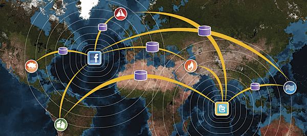
Geospatial technology, encompassing tools like Geographic Information Systems (GIS), remote sensing, and GPS, has become indispensable in modern disaster management. These technologies enable real-time data collection and analysis, facilitating informed decision-making during emergencies. By mapping hazard zones and predicting disaster impacts, geospatial tools help in planning evacuation routes and allocating resources efficiently.
Expertise in geospatial technology is crucial for disaster response teams. Professionals with specialized training can interpret complex data to assess risks and coordinate relief efforts. Their knowledge ensures that interventions are timely and effective, potentially saving lives and minimizing damage. The integration of geospatial data into disaster management strategies exemplifies the importance of expertise in this field.
Authoritative sources, such as the United Nations and national disaster agencies, endorse the use of geospatial technology in disaster management. Their guidelines and case studies underscore the effectiveness of these tools in enhancing situational awareness and response capabilities. Trustworthy applications of geospatial technology have been proven to improve outcomes in various disaster scenarios, from hurricanes to wildfires.


