Political Geography, The Study of Power, Space, and Territory
2026-01-13
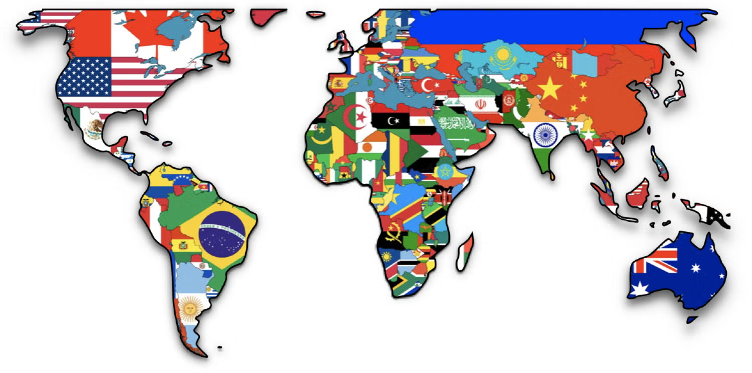
solsticeuniversity.com – Political geography is a subfield of human geography that examines the spatial dimensions of politics and the political dimensions of space. It explores how political processes shape the organization of territory, how spatial structures influence political outcomes, and the ways power is distributed, contested, and exercised across scales—fromContinue Reading